Coastal, South Baldwin County Loop | Baldwin | Best Seasons: Fall | Winter
Magnolia Springs Landfill is a county landfill and is open Monday-Friday 7 a.m. to 4 p.m. and Saturday 7 a.m. to 12 p.m. Proceed to the second gate and enter the landfill. Stop by the office to ask permission to access the birding sites. Bird checklists are available in the office. After checking in, drive straight ahead (east) and proceed up the hill. At the top, turn left (north) and park well off to the side of the road.
A path leads to a viewing platform offering birders a vantage point to thoroughly scan for wintering gulls and other birds. Ninety-nine percent of the gulls utilizing the landfill in winter are comprised of Laughing, Ring-billed, and Herring Gulls, but rarities like Franklin’s, Thayer’s, Iceland, Lesser Black-backed, and Glaucous Gulls are all additional possibilities. American Pipits (winter), Fish Crows and both vultures are also regular. In January 2009, a Snow Bunting was seen, accounting for the first state record. As you leave the landfill, be sure to check the small ponds on the west side of the entrance road for waterfowl and shorebirds during the winter months.
Note: While visiting the landfill, take care not to block or otherwise interfere with the heavy machinery. Do not enter the pit area for any reason. View birds from the roadside or designated sites only.
GPS: 30.44683 -87.77292
Magnolia Springs Landfill
15140 County Road 49
Summerdale, AL 36580
If following directions provided in the Coastal Birding Trail booklet, from Graham Creek Nature Preserve (ACBT 18), return west on CR 12 (passing through the Foley Beach Express) to AL 59 [3.0], turn right (north) and proceed to the AL 59/US 98 intersection [3.5]. Turn left (west) onto US 98 and continue to CR 49 in Magnolia Springs [5.0]. Turn right (north) on CR 49 and continue straight through the CR 24 intersection to a sharp curve westward [2.5], and continue another 0.4 miles to the entrance of the landfill on the right (north).
Amenities Available:
Nearby Sites
5 Rivers Delta Resource Center
5 Rivers sits on the banks of one of the canals that traverse the Mobile-Tensaw delta. The decks of the Delta Hall and the perimeter trail around the facility provide excellent vantage points to observe birds of the surrounding marsh and waterways. I …
Boggy Point
Boggy Point Boat Launch, an Alabama Department of Conservation and Natural Resources facility, offers a small beach with an excellent view of Robinson Island, a roosting site for herons and egrets, to the east. Robinson Island offers important habita …
Bon Secour National Wildlife Refuge – Jeff Friend Trail
The Jeff Friend Trail is a one-mile loop to Little Lagoon. Habitats include maritime forest, freshwater marsh and open water along the north shore of Little Lagoon. A variety of species are possible-waterbirds, raptors, songbirds and other passerines …
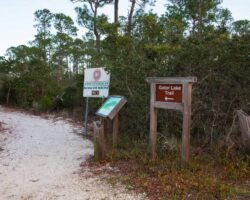
Bon Secour NWR – Mobile Street
Mobile Street is a paved road leading to the beach, with a parking area for the one-mile (each way) Gator Lake Trail, which connects Mobile Street with the Pine Beach Trail. This narrow trail can be good for winter birding where you may see Blue-gray …
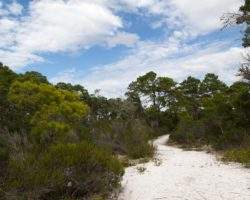
Bon Secour NWR – Pine Beach Trail
At the Pine Beach trailhead stands an interpretive kiosk with trail maps and bird lists. This is a two-mile trail (each way) southeastward to the beach by way of Little Lagoon and Gator Lake. The hike is an enjoyable walk through a variety of habitat …
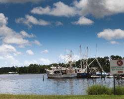
Bon Secour River
Bon Secour Bay is found on the eastern edge of Mobile Bay and provides a protected area for wintering waterfowl and seabirds. Scan the bay and the small canal for gulls and tern. Black-crowned Night-herons may be found roosting in the oaks scattered …
